





Introduction — Panoramic hikes around Lake Maggiore
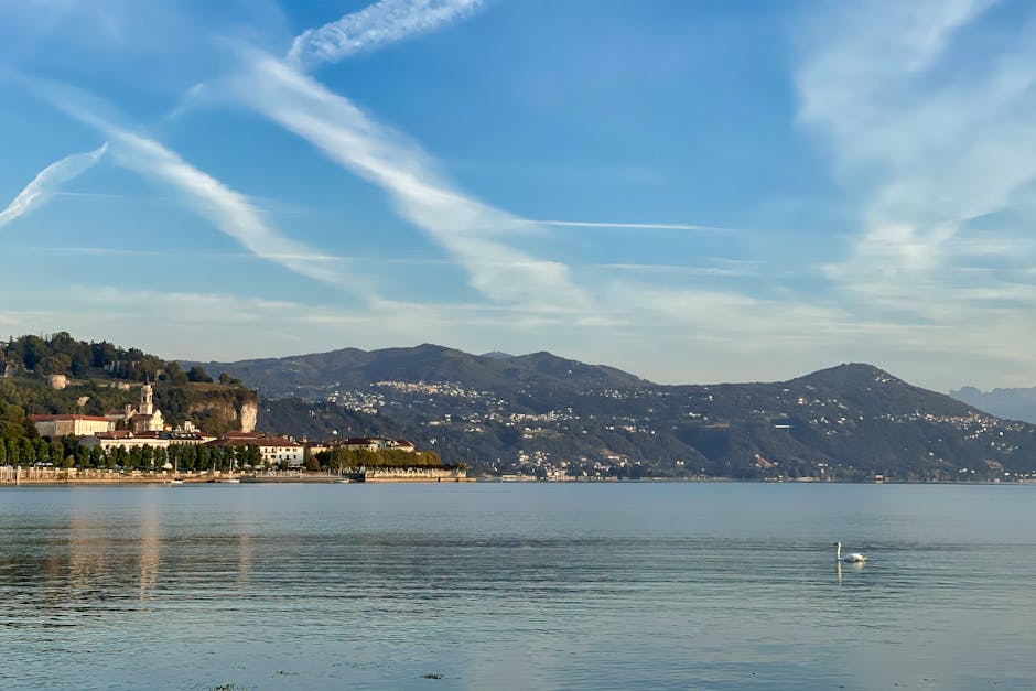
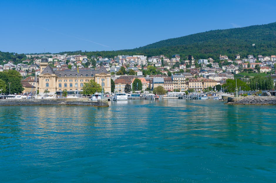
Lake Maggiore, straddling Italy’s Piedmont and Lombardy regions and edging Switzerland’s Ticino canton, is one of the most beautiful playgrounds for hikers who want to mix lakeside views, historic villages and accessible alpine terrain. The lakeshores alternate between beaches, manicured promenades and trails that quickly climb into chestnut woods, panoramic ridges and summits offering breathtaking views of the Borromean Islands, the Alps and the Po Valley. Whether you prefer easy half-day walks or more demanding routes that take several hours, the area has trails for every level, each with a distinctive scenic and cultural identity.
In this article I share the unmissable hikes around Lake Maggiore, chosen for their panoramic quality, variety (historic sites, viewpoints, mountain huts) and practical details (access, public transport, facilities). For each hike I give an immersive description of the route, exact addresses for trailheads or nearby tourist offices, useful prices (for example for lifts or access to private gardens), opening times to be aware of, and local tips to make the most of your day: best times for light, places to avoid in heat or fog, dining options and public transport return choices.
You’ll also find gear recommendations, a simple difficulty rating (easy, moderate, strenuous), and tips to help preserve the area — for example respecting protected zones like the Parco Nazionale della Val Grande. Throughout the text I add visual cues as image markers to help you picture each stage before you go. These image markers will help you look up atmosphere photos (sunrise from Monte Mottarone, Villa Taranto avenue in spring, the ridge path to Sasso del Ferro) so you can set realistic visual expectations for each hike.
Before you set off: always check seasonal opening times for lifts and private sites (Isola Bella, Villa Taranto), bring enough water, rain gear and a paper map or offline GPS. Some areas are exposed and windy, others shaded but damp; adapt your shoes and bring poles if you’ll be descending steep slopes. Now lace up your boots and come with me: here are five panoramic hikes around Lake Maggiore you shouldn’t miss.
1) Monte Mottarone and the panoramic run between Stresa and the summit
Monte Mottarone (1,491 m) is one of the most iconic peaks overlooking Lake Maggiore. The most common starting point is the town of Stresa on the lake’s southwest shore: Piazza Cadorna, 28838 Stresa (VB), Italy. You can reach the summit on foot from Stresa via a well-marked trail (loop or direct ascent) or by combining hiking with the cable car. The Funivia Stresa-Alpino-Mottarone (cableway) departs from the lower station near Lungolago Mazzini: practical address Piazza Marconi, 28838 Stresa (VB). Indicative cable car fares: around €16–€20 round trip for an adult (prices vary seasonally). Opening hours: generally 9:00 – 18:00 in high season (check exact hours before you go).
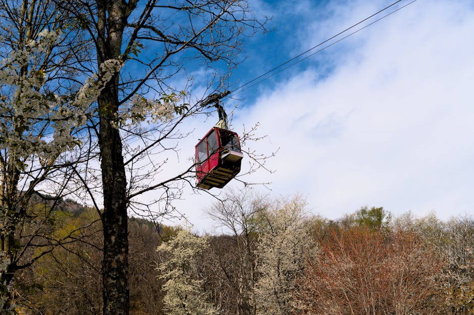
The trail from Stresa climbs through beech and conifer forests, with clearings that open onto views of the Borromean Islands (Isola Bella, Isola Madre). On a clear day you can even spot the Matterhorn and the whole Alpine chain. At the summit there’s a viewing platform and kiosks serving drinks and snacks: unofficial summit details but practical coordinates Summit Monte Mottarone, 28937. Difficulty: moderate to strenuous depending on the route (elevation gain 800–1,100 m depending on the trail). Typical duration: 3 to 5 hours round trip if you hike the whole way.
Practical tips
- Best time: sunrise or late afternoon for low-angle light; avoid the hottest hours in summer.
- Gear: hiking boots with good grip, windproof jacket, 1.5–2 L water per person.
- Access: parking and Stresa train station (Stazione di Stresa) for those coming by rail.
- Cost: cable car ~€16–€20 RT adult; some summit restaurants accept cards and cash.
2) Sentiero del Sasso del Ferro (Laveno-Mombello): a balcony on the Lombardy shore
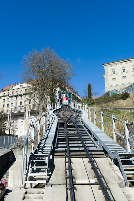
The trail up to Sasso del Ferro, above Laveno-Mombello, is a fantastic route for hikers seeking a 360° panorama of Lake Maggiore from the Lombardy side. Recommended start: Funicolare Laveno-Mombello, Piazza Cabella 2, 21014 Laveno-Mombello (VA). The lift (cableway/funicular) climbs to Monte Sasso del Ferro; a round-trip ticket costs about €8–€12 depending on the season. Opening times: generally 9:00 – 17:30 in low season, extended in summer (check the official site).
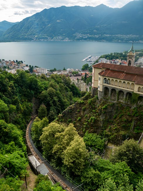
From the upper station, several marked loops run along the ridge, pass viewpoints and descend to typical hamlets. The trail is popular with paragliders — you can watch take-offs and landings from the Sasso del Ferro platform. Difficulty: easy to moderate, family-friendly if you use the lift to gain altitude. Duration: 1.5 to 3 hours depending on the route you pick. Some sections are rocky, so bring sturdy shoes and sun protection for exposed stretches.
Practical information
- Funicular address: Piazza Cabella 2, 21014 Laveno-Mombello (VA)
- Indicative fares: ~€8–€12 RT funivia; cafe/bar at the top station (prices vary, coffee ~€1.50–€2.50)
- Local tip: the wind can pick up in the late afternoon — be careful if you’re walking along the ridge.
- Transport: Laveno-Mombello train station (Trenord) and parking at the piazza.
3) Rocca d’Angera promenade and trails toward the south shore
Angera, on the lake’s southwest shore, is dominated by the imposing Rocca Borromeo di Angera (Castello Borromeo di Angera). Address: Rocca di Angera, Via Castello 1, 21021 Angera (VA). Opening hours: in high season typically 9:00 – 18:00; reduced hours in low season (check the official site). Indicative entrance fee: €8–€12 for the museum and gardens; discounts for seniors and children are usually available.
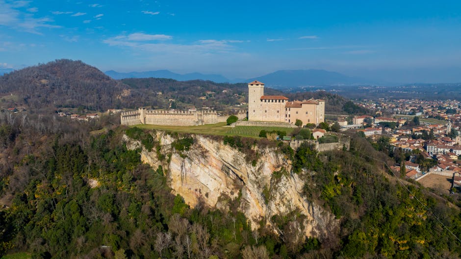
From the Rocca, several trails follow the shore and wind through wooded hills facing the Borromean Islands. The most photogenic route climbs to the Belvedere di Angera, with views over Isola dei Pescatori and Isola Bella. Terrain varies between farm tracks, stone steps and forest paths; a full loop around the Rocca hill takes about 2 to 4 hours depending on pace. The visit combines heritage (medieval castle, museums) with nature (views, small groves), making it ideal for a family outing or a half-day trip.
Tips and practical info
- Visit address: Via Castello 1, 21021 Angera (VA) — starting point for the route.
- Fees: Rocca visit €8–€12; some cultural events may have separate prices.
- Hours: seasonal — check museum opening days before you travel.
- Food: restaurants and cafes on Angera’s lungolago for lunch after the hike.
- Local tip: in summer start early to avoid heat and crowds; bring sunglasses and a hat.
4) Val Grande National Park — wild route from Verbania-Pallanza
Parco Nazionale della Val Grande is the largest wilderness area on mainland Italy and offers challenging hikes that can be long but deeply rewarding. Frequent access point: Centro Visitatori del Parco Nazionale della Val Grande, Via F.lli Cervi 10, 28922 Verbania (VB) (visitor center and starting point for maps and advice). Center hours: often 9:00 – 17:00 in season; closed or reduced hours off-season. Park access is free, though some guided outings may be paid (prices vary, e.g. €10–€30 depending on the trip).
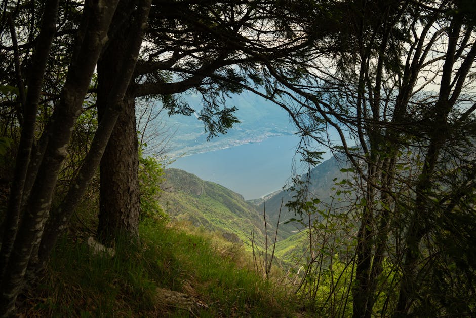
A classic route leaves from Verbania-Pallanza and follows trails toward Intragna or Cicogna, then climbs through wooded valleys up to the ridges above the lake. These routes range from moderate to difficult: steep elevation changes, unmarked portions and rocky passages. Duration: half-days to multi-day itineraries depending on the route and accommodation options (mountain huts or bivouac where allowed). The park’s beauty lies in its preserved character: silence, deep valley views and interpretive signs for flora and birdlife that nature lovers will appreciate.
Safety and logistics tips
- Info: stop by the Visitor Center in Verbania for detailed maps and advice on open trails.
- Gear: topographic map, GPS, 30–40 L pack, warm layers, food for the day and a first-aid kit.
- Access: Verbania-Pallanza train station (railway station address), local buses serve some gateway villages.
- Rules: stick to marked trails, no open fires in dry periods, and check for any seasonal restrictions.
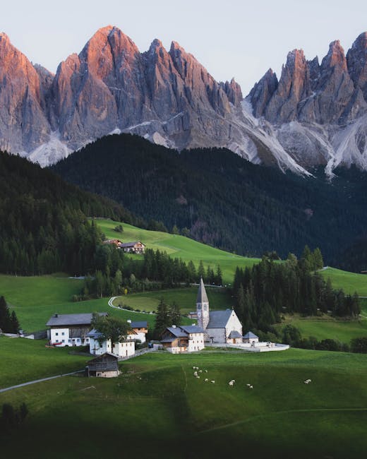
5) Isola Bella and lakeside walks around Stresa
Isola Bella is one of Lake Maggiore’s jewels, famous for its baroque palace and terraced gardens: Isola Bella, 28838 Stresa (VB). A combined Palace & Gardens ticket usually costs around €15–€18 per adult; typical opening times: 9:00 – 18:00 in high season (reduced hours off season). From Stresa, numerous lakeside trails and coastal promenades let you combine a boat crossing (local navigation companies: Navigazione Lago Maggiore) with an easy lakeside hike to viewpoints over Isola Bella and Isola Madre.
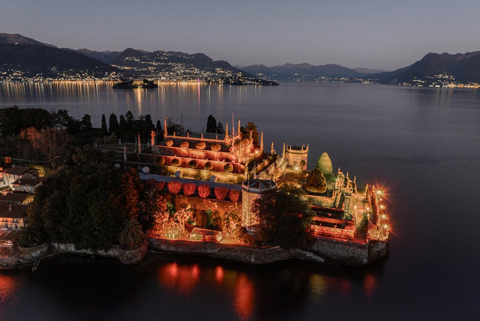
A popular route is the Stresa–Baveno walk, following the lakefront and then climbing a small ridge for views of the islands and the colorful façades of the towns. Difficulty: easy, family-friendly; duration: 2 to 4 hours depending on the route and stops (museums, cafes). Ideal late afternoon to enjoy the sunset over the lake and golden light on the baroque gardens. For a wilder option, take the minor trails toward Punta del Mottarone on the east side for less frequented views.
Practical tips
- Isola Bella tickets: buy online in high season to avoid queues; indicative price €15–€18/adult.
- Ferry: Navigazione Lago Maggiore — regular crossings between Stresa, Isola Bella, Isola Madre and Baveno. Typical one-way fare ~€6–€12 depending on distance.
- Useful address: Imbarcadero Stresa, Lungolago Mazzini, 28838 Stresa (VB) — departure point for boats.
- Photo tip: head to the shores at sunset for warm colors on Isola Bella’s terraces.
Conclusion — Preparing your hikes around Lake Maggiore
Lake Maggiore offers a wealth of routes that will satisfy casual strollers and seasoned hikers alike. From accessible summits like Monte Mottarone, panoramic lookouts such as Sasso del Ferro, historic sites (Rocca di Angera, Isola Bella) and preserved wilderness (Val Grande), each outing offers a different perspective over the lake and the alpine ranges. Before you go, take the time to check lift schedules and prices (e.g. Funivia Stresa-Alpino-Mottarone, funicolare Laveno), opening times for private sites (Villa Taranto, Rocca di Angera, Isola Bella Palace), and local weather conditions — the lake can generate morning fog or high-altitude winds that change the hiking experience.
Quick practical recap: wear appropriate shoes, bring water and sun protection, consult tourist info centers (e.g. Centro Visitatori Val Grande in Verbania for wild routes), and prefer morning starts in summer to avoid heat. The rail network and Lago Maggiore boat services make it easy to combine hiking with public transport — check ferry timetables and book tickets for very popular sites. Above all, respect the places you visit — leave no trace, stay on marked trails and check bivouac rules in protected areas.
Whether you’re after a sporty climb, a contemplative sunset stroll or a culture-rich outing punctuated by lake views, the hikes around Lake Maggiore offer a complete and varied menu. Enjoy the panoramas, the baroque gardens and the lakeside villages, but most importantly go prepared and well-informed: the mountains and the lake reward those who respect their rhythms and rules. Happy hiking and wonderful discoveries around Lake Maggiore!