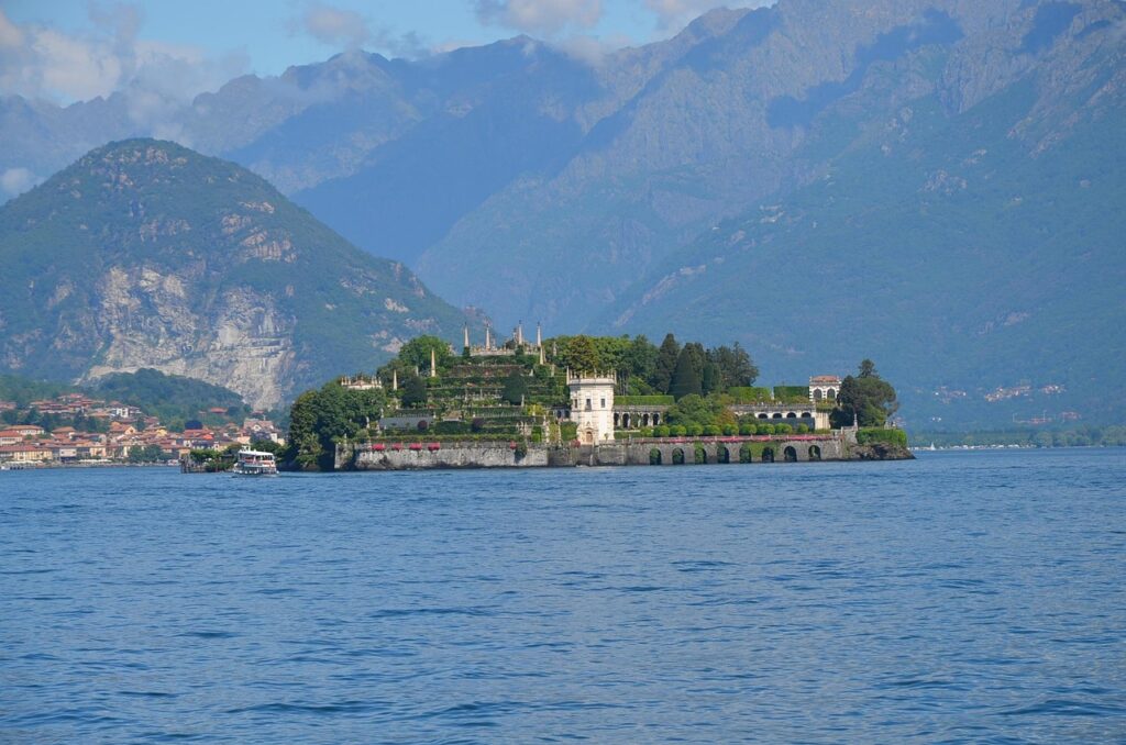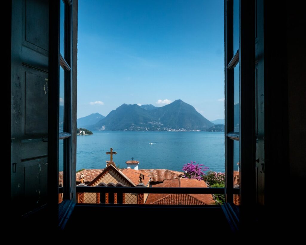






Introduction — Why Lake Maggiore is perfect for scenic walks
Lake Maggiore (Lago Maggiore) is one of Italy’s largest and most picturesque lakes, straddling Lombardy and Piedmont and framed by a variety of shores: steep cliffs, pebble beaches, historic villages and subtropical gardens. For the traveler who loves discovering views on foot, Lake Maggiore offers a wealth of viewpoints reachable without a car — from natural ridge lookouts to urban promontories and hilltop castles. Walking not only gets you to angles that tour buses don’t reach, but also lets you soak up the local atmosphere: scents of eucalyptus and pine, the lapping of water against the quays, bird song in olive groves and the distant calls of ferries.
This article is a practical, detailed guide for hikers and walkers who want to discover Lake Maggiore’s best panoramas on foot. Each section describes a specific spot with exact address, practical information (opening hours, indicative prices), immersive descriptions and local tips to make the most of your walk: best times for light, preferred trails, weather checks and crowd-avoidance hacks. I focus on routes that can be done in a half or full day, accessible to most reasonably fit walkers, while also suggesting shorter or longer variants depending on your level.
You’ll find very different options here: a summit with 360° views of the Alpine chain and the lake, a cliffside footpath running past historic villages, terraced gardens overlooking the blue surface, and medieval fortresses whose walls tell the lake’s story. The places listed suit independent travelers planning their own itinerary as well as photographers and those seeking quiet moments of meditation by the water. Addresses and prices are up to date at the time of writing; keep in mind that access fees (museums, gardens, lifts) can change with the season or special events.
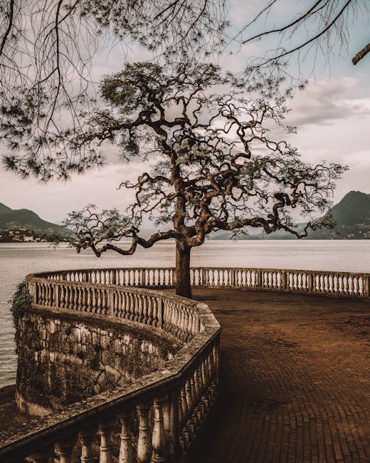
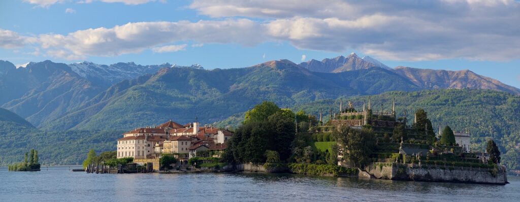
1) Mottarone — panoramic summit reachable on foot from Stresa and nearby towns
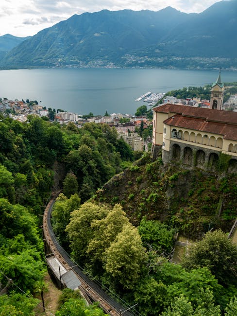
Mottarone (1,492 m) towers above Lake Maggiore and separates it from the nearby Lake Orta; on a clear day the summit offers sweeping views of the lake, the Borromean Islands, the Alpine chain and Monte Rosa. Several hiking routes lead up to Mottarone from villages like Stresa (Piazzale della Funivia) or Armeno. The hike from Stresa on foot takes roughly 3 to 4 hours depending on route and pace, with significant elevation gain but very scenic sections.
Main starting address (for info or cable car alternative): Funivia Stresa-Mottarone, Piazzale Funivia, 28838 Stresa VB. Cable car (option if you prefer to avoid the full ascent): hours vary by season (generally 09:00–18:00 in high season). Indicative cable car price: round-trip €20.00 adult (rates subject to change); single tickets available some days. If hiking, no ticket is needed, but bring a map and proper shoes.
Immersive description: you set off along scented forest tracks, cross alpine meadows and clearings that gradually open wider and wider views. As you near the top, vegetation thins to reveal rock outcrops and alpine pastures. On the summit several viewpoints with benches and information panels let you orient your gaze across the main peaks and the lake’s geography.
Local tips: start early to catch the morning light and avoid afternoon haze or clouds; pack water and snacks as the climb is demanding. Check the weather: ridgeline exposure can be very windy. If you want to combine hiking with a lift, park or use public transport at Stresa, hike part of the way and descend by cable car (check Funivia schedules). Keep an eye out for marmots and birds of prey.
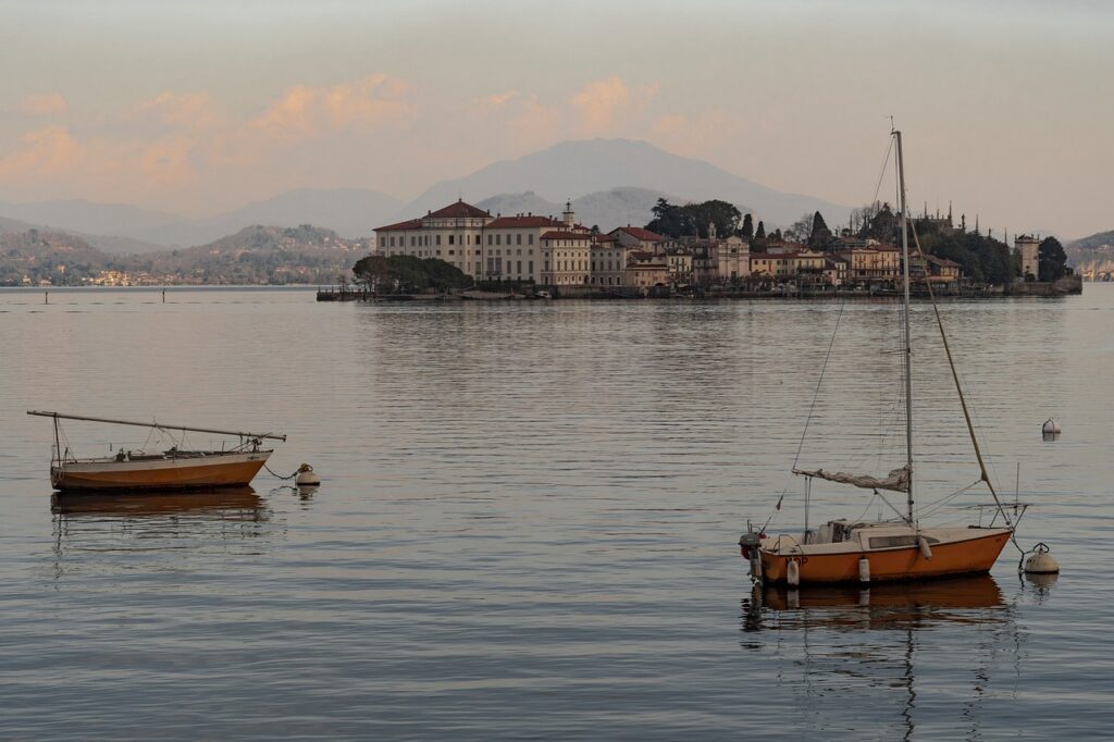
2) Sasso del Ferro (Laveno-Mombello) — an easy, dramatic overlook above the lake
Sasso del Ferro is a rocky overlook above the eastern shore of Lake Maggiore, above Laveno-Mombello. It’s one of the most accessible viewpoints for those wanting a quick panorama without a long hike. You can walk up on a well-marked trail from Laveno’s center, or take the gondola to save time. Laveno is easy to reach by train from Milan or Arona.
Cable car / access point address: Funivia Sasso del Ferro, Piazzale Sasso del Ferro, 21014 Laveno-Mombello VA. Cable car hours: generally 09:00–18:00 in high season, reduced off-season; check locally. Indicative cable car price: round-trip adult €10.00–€12.00; reduced fares for youth/children available. Hiking: marked trail about 4 km, moderate elevation, 1.5–2 hours depending on pace.
Immersive description: the trail climbs through chestnut groves and ferns, already offering glimpses of the lake and the silhouette of San Giovanni island. At the summit a natural platform and a small shelter provide a dramatic panorama: the lake opens out below, dotted with islets and framed by the shapes of shoreline villages. Golden evening light highlights the rocks and water — a photographer’s dream.
Local tips: Sasso del Ferro is family-friendly if you take the gondola up; for a sportier outing hike the trail. Wear shoes with good grip, especially after rain. The spot is popular at sunset — arrive 45–60 minutes early to claim a view. In winter bring warm layers: the summit is often noticeably cooler than the lakeshore.
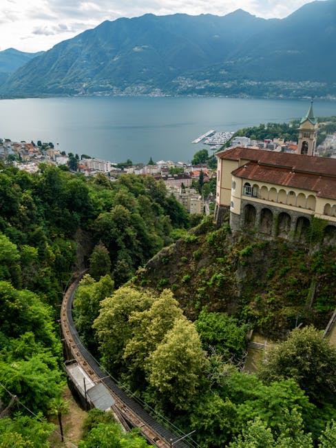
3) Rocca di Angera and the Castelletto sopra Ticino promenade — medieval fortress and lakeside lookouts
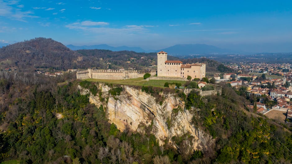
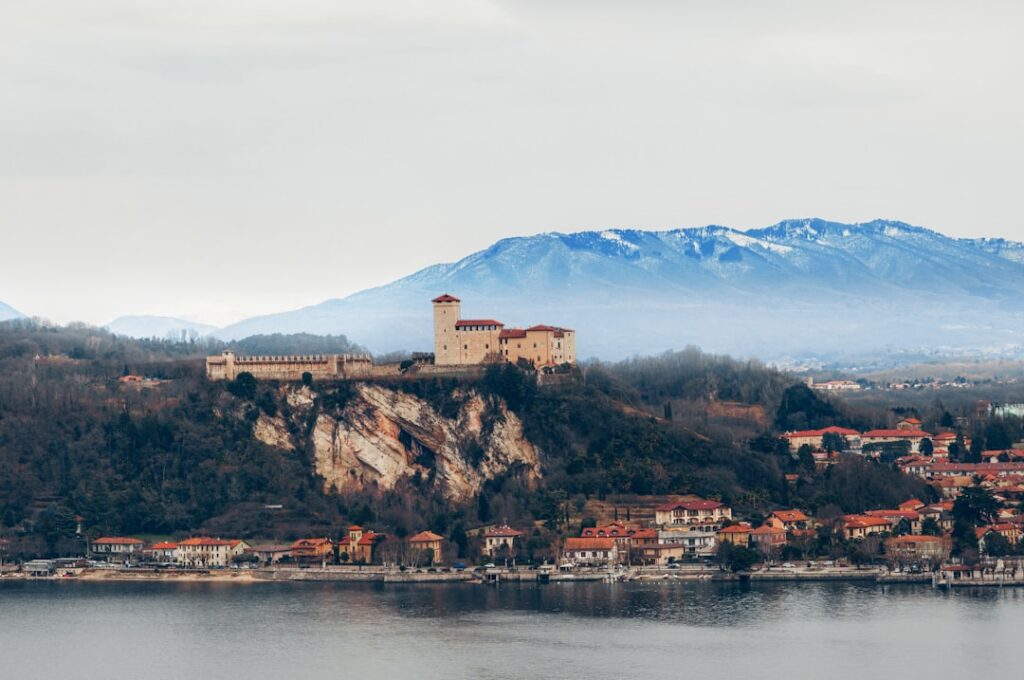
Rocca di Angera is a medieval fortress overlooking the southern shore of Lake Maggiore, offering a rare combination of historic architecture, a museum and open views over the Golfo degli Angeli. The walk between Angera and Castelletto sopra Ticino provides continuous lakeside viewpoints. The Rocca is also rewarding for those who like to gaze over the water from defensive towers.
Address: Rocca di Angera, Piazza Castello 4, 21021 Angera (VA) — note: postal code sometimes listed as 21020/21021 depending on local sources. Opening hours: generally 09:30–18:00 (April–September), reduced hours off-season; museum and exhibitions may have specific time slots. Indicative fees: adult ticket €8.00–€9.00; reduced €5.00–€6.00 (students/youth), free entry under certain conditions. Check the official site for special events.
Immersive description: the climb to the Rocca from Angera’s center follows shaded lanes and small gardens. Inside, museum rooms and the medieval halls open onto a loggia and tower where the view of the lake is stunning; you can trace the curve of the shoreline, distant islands and mountain peaks. The lakeside stroll toward Castelletto sopra Ticino adds a different flavor: quays, pebble beaches and viewpoints where the light plays across the water.
Local tips: combine a Rocca visit with a late-afternoon walk along Angera’s Lungolago for soft light. Choose sunny days to fully enjoy the tower views. If arriving by train, Angera station is nearby; there are frequent connections from Milan. Bring a map or use an offline hiking app to find lesser-used trails along the cliffs that offer more exclusive views.
4) Verbania (Pallanza) and the Villa Taranto Gardens — terraced views and botanical walks
Verbania-Pallanza, on the lake’s western shore, is a must for garden lovers and fans of elegant promenades. The Villa Taranto Gardens offer terraced perspectives that slope down toward the water, while Pallanza’s old town provides urban lookouts, quays and viewpoints over small harbors and the distant mountain silhouettes. You can alternate urban walks, botanical strolls and short hikes on nearby ridges.
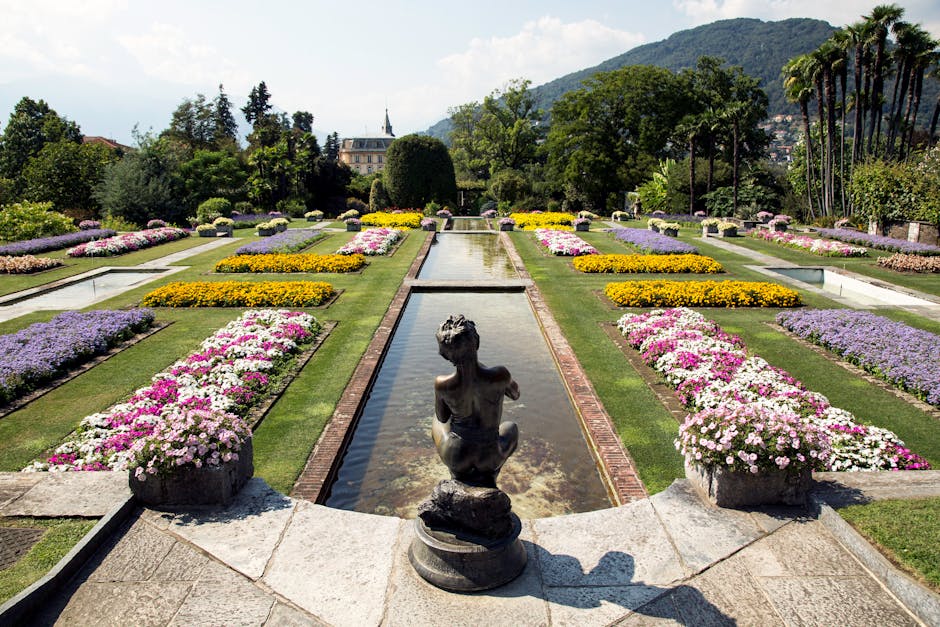
Villa Taranto address: Viale Cavallotti 6, 28922 Verbania (VB). Hours: generally 08:30–18:30 (April–October, variable off-season). Indicative prices: adult €12.00; reduced for youth/students €7.00–€9.00; children and free-entry periods vary. The gardens are well maintained and arranged in alleys and terraces, making for a very photogenic walk.
Immersive description: wandering Villa Taranto’s gardens puts you into a patchwork of microclimates: subtropical planting, formal beds and colorful borders follow one after another. Numerous terraces and stairways create little visual windows onto the lake below. Outside the gardens, the Lungolago Simone Valeri promenade in Pallanza offers benches, lookouts and perfect angles to watch boats come and go, reflections on the water and the mountain ridgelines.
Local tips: arrive early in the morning to enjoy the gardens with fewer people and the soft light that’s ideal for photos. Combine Villa Taranto with a short hike into the hinterland (trails toward Monte Zeda or other nearby ridges depending on your level) to vary elevation and perspectives. In Pallanza, look for steep lanes that lead to hidden belvederes — often less crowded and offering intimate views of the lake and historic villas.
Conclusion — How to plan your walks for unforgettable panoramas
Lake Maggiore is best explored on foot: every step opens a new viewpoint, whether it’s an alpine summit, a rocky promontory, a medieval fortress or a terraced garden. This guide covered four complementary types of viewpoints — Mottarone for altitude, Sasso del Ferro for easy dramatic access, Rocca di Angera for history and lakeside panoramas, Verbania/Villa Taranto for terraced landscaped views — all largely achievable on foot, with lift options or guided tours depending on your energy and available time.
Before you set out, keep these practical tips in mind: check opening hours and prices for facilities (gondolas, museums, gardens) as they vary by season; wear appropriate shoes, bring water and sun protection; and start early to get the best light and reduce the chance of fog or strong winds at altitude. Prepare a small first-aid kit and a map (paper or an app downloaded for offline use) for less-marked trails. Finally, respect local rules — don’t pick plants in protected parks, follow signage in historic areas and leave places clean.
Whether you’re a photographer, hiker, history buff or casual stroller, Lake Maggiore’s viewpoints offer varied and memorable experiences. By traveling on foot you’ll not only reach unique lookouts but also enjoy the gradual shifts in scenery: lively urban shores, historic villages, wooded slopes and Alpine panoramas. Take the time to watch, sit on a bench, listen to the lake and let the landscape transform your day.